Loading...
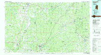
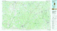
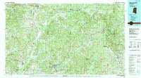
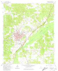
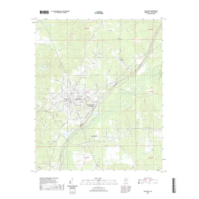
Loading map...1984 Map of Kosciusko
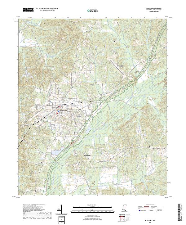
USGS Topo · Published 1984About this map
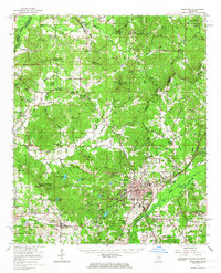
Kosciusko serves as a central hub in this mid-1980s landscape, where the Natchez Trace Parkway angles through Attala Co and Choctaw Co. The region is defined by its deep connectivity to the land, evidenced by the extensive Tombigbee National Forest and the meandering path of the Big Black River. Small rural communities and church-centered settlements like New Hope Ch and Bethlehem Ch are scattered across the terrain, illustrating the persistent importance of local parishes and crossroads in Central Mississippi.
Find a feature on this map
127 named features on this map. Tap any name to fly to it.
Don’t see what you’re looking for? This feature index may not catch every label — zoom into the map to look around manually.
Map Details
Date Portrayed1984
Date Published1984
PublisherU.S. Geological Survey
Map TypeTopographic
Scale1:100,000
Physical Dimensions43.9 x 24.1 inches
Editions of this 1984 Kosciusko Map
3 editions found
Historical Maps of Kosciusko Through Time
8 maps found
Featured Locations
Source Details
SourceU.S. Geological Survey
CopyrightPublic Domain