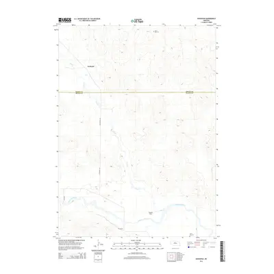
2014 Map of Koshopah
USGS Topo · Published 2014About this map
Koshopah anchors this Sandhills landscape where the waters of Goose Cr move southward to meet the North Loup River. The area is characterized by the divide between Brown and Blaine counties, showing a rural Nebraska environment defined by sparse settlement and wide drainage basins. Local history is grounded in the Hawley Flats area, where the terrain levels out near the riverbank. This 2014 survey documents the placement of isolated rural landmarks, including the Valley View Cem in the northern hills and the Hawley Flats Cem near the southern river bend. The road network, including Cottonwood Ave and Hillside Rd, provides the primary structure for the scattered homesteads and ranching land that dominate the region.
Find a feature on this map
11 named features on this map. Tap any name to fly to it.
Don’t see what you’re looking for? This feature index may not catch every label — zoom into the map to look around manually.
Map Details
Editions of this 2014 Koshopah Map
This is the sole edition of this map. No revisions or reprints were ever made.
Other maps of this area

1949 · Koshopah
USGS Topo · 1:62,500

1951 · Dunning
USGS Topo · 1:62,500

1951 · Koshopah
USGS Topo · 1:62,500

1952 · Brewster NW
USGS Topo · 1:24,000

1954 · North Platte
USGS Topo · 1:250,000

1955 · Broken Bow
USGS Topo · 1:250,000

1955 · O'Neill
USGS Topo · 1:250,000

1956 · Broken Bow
USGS Topo · 1:250,000

1956 · North Platte
USGS Topo · 1:250,000

1957 · North Platte
USGS Topo · 1:250,000