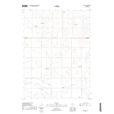
2017 Map of Koshopah
USGS Topo · Published 2017About this map
North Loup River meanders across the southern portion of this Nebraska landscape, where the sandhills of Brown County meet Blaine County. This 2017 survey captures a remote ranching and agricultural region defined by expansive drainage networks like Goose Cr and isolated rural settlements. The tiny community of Koshopah sits in the northern section, while Hawley Flats occupies a bend in the river to the south. Local history and genealogy are anchored by two distinct burial grounds: Valley View Cem in the north and Hawley Flats Cem near the riverbanks. The transportation network is sparse, relying on gravel and dirt routes such as W North Loup Rd and Co Rd 7 to connect these far-flung prairie outposts.
Find a feature on this map
15 named features on this map. Tap any name to fly to it.
Don’t see what you’re looking for? This feature index may not catch every label — zoom into the map to look around manually.
Map Details
Editions of this 2017 Koshopah Map
This is the sole edition of this map. No revisions or reprints were ever made.
Other maps of this area

1949 · Koshopah
USGS Topo · 1:62,500

1951 · Dunning
USGS Topo · 1:62,500

1951 · Koshopah
USGS Topo · 1:62,500

1952 · Brewster NW
USGS Topo · 1:24,000

1954 · North Platte
USGS Topo · 1:250,000

1955 · Broken Bow
USGS Topo · 1:250,000

1955 · O'Neill
USGS Topo · 1:250,000

1956 · Broken Bow
USGS Topo · 1:250,000

1956 · North Platte
USGS Topo · 1:250,000

1957 · North Platte
USGS Topo · 1:250,000