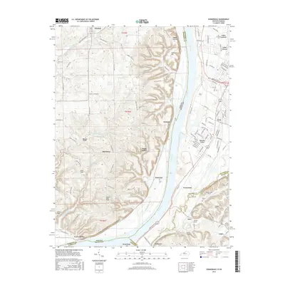
2016 Map of Kosmosdale
USGS Topo · Published 2016About this map
The Ohio River carves a deep valley through this region, serving as the primary geographic and political boundary between Indiana and Kentucky. On the eastern Kentucky shore, the landscape transitions from the riverfront bottoms at Kosmosdale and West Point to the rising suburban developments of Valley Gardens and Meadow Lawn. This area is defined by its strategic position along the corridor of Dixie Hwy, where modern residential expansion meets older rural settlements like Fishtown and Rosewood.
Find a feature on this map
66 named features on this map. Tap any name to fly to it.
Don’t see what you’re looking for? This feature index may not catch every label — zoom into the map to look around manually.
Map Details
Editions of this 2016 Kosmosdale Map
This is the sole edition of this map. No revisions or reprints were ever made.
Other maps of this area

1909 · Kosmosdale
USGS Topo · 1:48,000

1912 · Kosmosdale
USGS Topo · 1:62,500

1931 · Corydon
USGS Topo · 1:62,500

1936 · Vine Grove
USGS Topo · 1:62,500

1941 · Ekron
USGS Topo · 1:62,500

1943 · Vine Grove
USGS Topo · 1:62,500

1946 · Rock Haven
USGS Topo · 1:24,000

1946 · Pitts Point
USGS Topo · 1:24,000

1946 · Fort Knox
USGS Topo · 1:24,000

1946 · Vine Grove
USGS Topo · 1:62,500