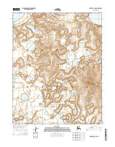
2014 Map of Kotzebue B-6 SE
USGS Topo · Published 2014About this map
The Bering Land Bridge National Preserve dominates this remote landscape on the Seward Peninsula, protecting a vast network of water and tundra. The terrain is defined by the winding course of the Singeakpuk River and the Kitluk River, which navigate a complex system of ponds and wetlands. To the northeast, the Devil Mountain Lakes sit near the prominent elevation of Devil Mountain, a significant landmark in this sparsely populated region. These volcanic features and coastal lowlands, including White Fish Lake, provide a detailed record of the Holocene environment within this protected federal wilderness. The map serves as a vital tool for understanding the shifting hydrology and topography of one of Alaska's most unique ecological preserves.
Find a feature on this map
10 named features on this map. Tap any name to fly to it.
Don’t see what you’re looking for? This feature index may not catch every label — zoom into the map to look around manually.
Map Details
Editions of this 2014 Kotzebue B-6 SE Map
This is the sole edition of this map. No revisions or reprints were ever made.
Other maps of this area

1950 · Kotzebue A-6
USGS Topo · 1:63,360

1950 · Kotzebue B-5
USGS Topo · 1:63,360

1950 · Kotzebue B-6
USGS Topo · 1:63,360

1950 · Kotzebue A-5
USGS Topo · 1:63,360

1951 · Kotzebue
USGS Topo · 1:250,000

1958 · Kotzebue
USGS Topo · 1:250,000

1964 · Kotzebue
USGS Topo · 1:250,000
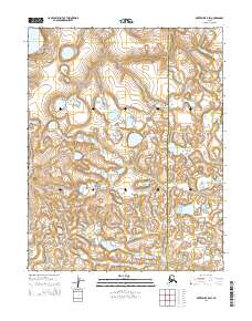
2014 · Kotzebue B-5 SW
USGS Topo · 1:25,000
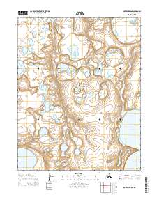
2014 · Kotzebue B-6 NE
USGS Topo · 1:25,000
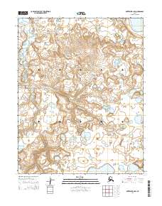
2014 · Kotzebue B-6 SW
USGS Topo · 1:25,000