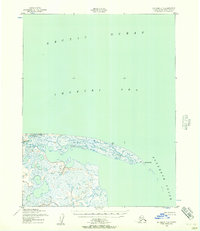
1950 Map of Kotzebue C-4
USGS Topo · Published 1957About this map
Cape Espenberg defines this coastal landscape where the waters of the Chukchi Sea meet Kotzebue Sound. Mapped by the Army Map Service using aerial photography from the late 1940s, the terrain is a complex network of coastal lagoons and tundra wetlands. The Espenberg River winds through the western portion of the sheet, while the northern extent is dominated by the open reach of the Arctic Ocean. A small navigational Light and several triangulation stations, such as VABM Espenberg, represent the only fixed human indicators in this shifting maritime environment. The intricate shoreline captured here illustrates a remote part of the Alaska-Second Judicial Division before modern satellite mapping, documenting the specific configuration of coastal bars and tidal inlets as they existed mid-century.
Find a feature on this map
8 named features on this map. Tap any name to fly to it.
Don’t see what you’re looking for? This feature index may not catch every label — zoom into the map to look around manually.
Map Details
Editions of this 1950 Kotzebue C-4 Map
2 editions found
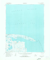
Other maps of this area
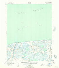
1950 · Kotzebue C-5
USGS Topo · 1:63,360

1950 · Kotzebue B-4
USGS Topo · 1:63,360

1950 · Kotzebue B-5
USGS Topo · 1:63,360

1951 · Kotzebue
USGS Topo · 1:250,000

1958 · Kotzebue
USGS Topo · 1:250,000

1964 · Kotzebue
USGS Topo · 1:250,000
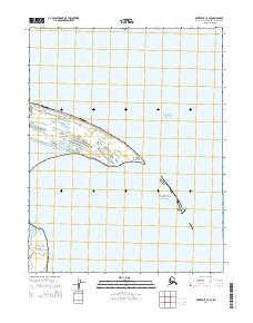
2014 · Kotzebue C-4 SE
USGS Topo · 1:25,000
2014 · Kotzebue B-4 NE
USGS Topo · 1:25,000
2014 · Kotzebue B-5 NE
USGS Topo · 1:25,000
2014 · Kotzebue C-5 SE
USGS Topo · 1:25,000