
1950 Map of Kotzebue C-6
USGS Topo · Published 1950About this map
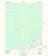
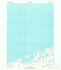
The Chukchi Sea and Arctic Ocean dominate this coastal survey, where the frozen waters meet the low-lying northern edge of Alaska. Mapped by the Army Map Service using aerial photography from 1949 and 1950, the map documents a remote stretch of shoreline defined by complex wetlands and drainage systems. Small coastal settlements such as Kividlo and Singeak are positioned along the edge of the sea, serving as notable human markers in a landscape otherwise shaped by natural hydrology. The Kalik River winds through the eastern portion of the terrain, cutting through the marshy lowlands before reaching the coast. This representation captures a specific era of Arctic mapping where photogrammetric methods began to reveal the intricate patterns of the tundra and its scattered coastal outposts.
Find a feature on this map
5 named features on this map. Tap any name to fly to it.
Don’t see what you’re looking for? This feature index may not catch every label — zoom into the map to look around manually.
Map Details
Editions of this 1950 Kotzebue C-6 Map
3 editions found
Other maps of this area

1950 · Shishmaref
USGS Topo · 1:250,000
1950 · Kotzebue C-5
USGS Topo · 1:63,360

1950 · Shishmaref B-1
USGS Topo · 1:63,360

1950 · Kotzebue B-5
USGS Topo · 1:63,360

1950 · Kotzebue B-6
USGS Topo · 1:63,360

1951 · Shishmaref
USGS Topo · 1:250,000

1951 · Kotzebue
USGS Topo · 1:250,000

1958 · Kotzebue
USGS Topo · 1:250,000

1964 · Kotzebue
USGS Topo · 1:250,000
2014 · Kotzebue B-6 NE
USGS Topo · 1:25,000