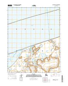
2014 Map of Kotzebue C-6 SE
USGS Topo · Published 2014About this map
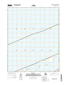
Bering Land Bridge National Preserve dominates the southern landscape of this coastal region, where the tundra meets the Chukchi Sea. In this early twenty-first-century survey, the interface between the marine and terrestrial environments is defined by the complex hydrology of Shishmaref Inlet and the Kalik River. The map documents small coastal settlements including Singeak and Kividlo, offering a precise record of these locations within the Alaska Nome Census Area. Transportation in this remote environment is represented by the Inlet Bypass, a specialized route that navigates the wetlands and tidal areas between the inlet and the interior hills. The topography is characterized by low-lying coastal plains dotted with numerous small lakes and ponds typical of the Seward Peninsula shoreline.
Find a feature on this map
11 named features on this map. Tap any name to fly to it.
Don’t see what you’re looking for? This feature index may not catch every label — zoom into the map to look around manually.
Map Details
Editions of this 2014 Kotzebue C-6 SE Map
This is the sole edition of this map. No revisions or reprints were ever made.
Other maps of this area

1950 · Kotzebue C-6
USGS Topo · 1:63,360
1950 · Kotzebue C-5
USGS Topo · 1:63,360

1950 · Kotzebue B-5
USGS Topo · 1:63,360

1950 · Kotzebue B-6
USGS Topo · 1:63,360

1951 · Kotzebue
USGS Topo · 1:250,000

1958 · Kotzebue
USGS Topo · 1:250,000

1964 · Kotzebue
USGS Topo · 1:250,000
2014 · Kotzebue B-6 NE
USGS Topo · 1:25,000
2014 · Kotzebue B-6 NW
USGS Topo · 1:25,000
2014 · Kotzebue C-6 SW
USGS Topo · 1:25,000