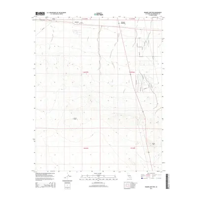
2015 Map of Kramer Junction
USGS Topo · Published 2015About this map
Kramer Junction stands as a pivotal crossroads in the High Desert, where major transportation routes bisect the arid landscape. The settlement of Kramer and the nearby Kramer Cemetery provide a focal point for local history within the vast expanse of the Mojave Desert. The map reveals a structured grid of residential streets east of the junction, including Cameo St and Apache Ave, contrasting with the more sparse, industrial-leaning north.
Find a feature on this map
29 named features on this map. Tap any name to fly to it.
Don’t see what you’re looking for? This feature index may not catch every label — zoom into the map to look around manually.
Map Details
Editions of this 2015 Kramer Junction Map
This is the sole edition of this map. No revisions or reprints were ever made.
Other maps of this area

1915 · Searles Lake
USGS Topo · 1:250,000

1932 · Barstow
USGS Topo · 1:125,000

1934 · Barstow
USGS Topo · 1:125,000

1937 · Kramer
USGS Topo · 1:48,000

1942 · Kramer
USGS Topo · 1:62,500

1947 · Kramer
USGS Topo · 1:24,000

1947 · Johannesburg SE
USGS Topo · 1:25,000

1947 · Rich
USGS Topo · 1:24,000

1947 · Red Buttes
USGS Topo · 1:24,000

1947 · Johannesburg SW
USGS Topo · 1:24,000