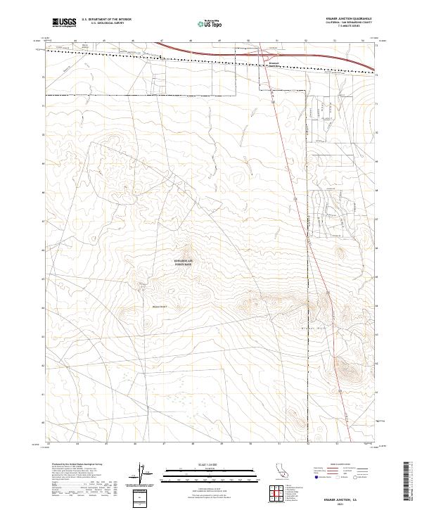
2021 Map of Kramer Junction
USGS Topo · Published 2021About this map
Kramer Junction stands at the critical intersection of high-desert travel, where US Rte 395 meets the Barstow-Bakersfield Hwy. This 2021 survey of the Mojave Desert highlights a landscape defined by transit and the legacies of desert freighting, notably reflected in 20 Mule Team Rd and Kramer Station Rd. To the north, the small Kramer Cem provides a genealogical touchstone for families rooted in this arid region, while the Boron Airstrip indicates the continued importance of remote infrastructure.
Find a feature on this map
35 named features on this map. Tap any name to fly to it.
Don’t see what you’re looking for? This feature index may not catch every label — zoom into the map to look around manually.
Map Details
Editions of this 2021 Kramer Junction Map
This is the sole edition of this map. No revisions or reprints were ever made.
Other maps of this area

1915 · Searles Lake
USGS Topo · 1:250,000

1932 · Barstow
USGS Topo · 1:125,000

1934 · Barstow
USGS Topo · 1:125,000

1937 · Kramer
USGS Topo · 1:48,000

1942 · Kramer
USGS Topo · 1:62,500

1947 · Kramer
USGS Topo · 1:24,000

1947 · Johannesburg SE
USGS Topo · 1:25,000

1947 · Rich
USGS Topo · 1:24,000

1947 · Red Buttes
USGS Topo · 1:24,000

1947 · Johannesburg SW
USGS Topo · 1:24,000