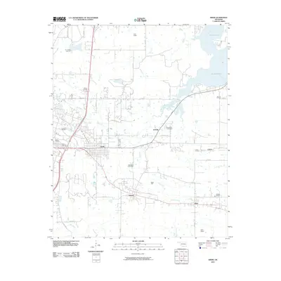
2010 Map of Krebs
USGS Topo · Published 2010About this map
Krebs and its surrounding coal-country settlements define this portion of Pittsburg County just east of McAlester. This landscape is a mix of small municipal centers like Alderson and Bache, connected by the corridor of Old US Hwy 270. The mapping reveals a high density of local heritage sites, particularly cemeteries such as Oak Hill Cemetery, Calvary Cemetery, and the more remote Carbon Cemetery near the settlement of Carbon.
Find a feature on this map
42 named features on this map. Tap any name to fly to it.
Don’t see what you’re looking for? This feature index may not catch every label — zoom into the map to look around manually.
Map Details
Editions of this 2010 Krebs Map
This is the sole edition of this map. No revisions or reprints were ever made.
Other maps of this area

1898 · McAlester
USGS Topo · 1:125,000

1900 · Canadian
USGS Topo · 1:125,000

1909 · Mc Alester
USGS Topo · 1:125,000

1946 · Fort Smith
USGS Topo · 1:250,000

1950 · Mcalester
USGS Topo · 1:250,000

1962 · McAlester
USGS Topo · 1:250,000

1965 · Fort Smith
USGS Topo · 1:250,000

1965 · McAlester
USGS Topo · 1:250,000

1967 · Fort Smith
USGS Topo · 1:250,000

1967 · Krebs
USGS Topo · 1:24,000