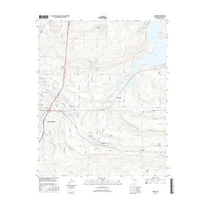
2016 Map of Krebs
USGS Topo · Published 2016About this map
McAlester and the adjacent coal-town communities define the landscape of this 2016 survey, where the urban grid of the city meets the more dispersed settlements of Krebs, Alderson, and Bache. The map details a transition from the industrial and transportation corridors of the S George Nigh Expy and Hwy 69 Frontage Rd to the more rural, topographical features of the Choctaw Nation's traditional territory.
Find a feature on this map
113 named features on this map. Tap any name to fly to it.
Don’t see what you’re looking for? This feature index may not catch every label — zoom into the map to look around manually.
Map Details
Editions of this 2016 Krebs Map
This is the sole edition of this map. No revisions or reprints were ever made.
Other maps of this area

1898 · McAlester
USGS Topo · 1:125,000

1900 · Canadian
USGS Topo · 1:125,000

1909 · Mc Alester
USGS Topo · 1:125,000

1946 · Fort Smith
USGS Topo · 1:250,000

1950 · Mcalester
USGS Topo · 1:250,000

1962 · McAlester
USGS Topo · 1:250,000

1965 · Fort Smith
USGS Topo · 1:250,000

1965 · McAlester
USGS Topo · 1:250,000

1967 · Fort Smith
USGS Topo · 1:250,000

1967 · Krebs
USGS Topo · 1:24,000