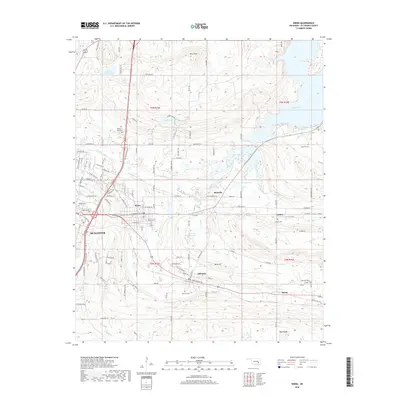
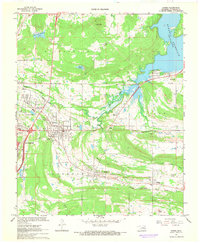
2018 Map of Krebs
USGS Topo · Published 2018About this map
Mcalester and the neighboring coal-mining heritage towns of Krebs and Alderson anchor this Pittsburg County survey. The landscape is defined by its transition from the urban grid of the county seat to the rising terrain of Buck Hill and Pine Knob. These hills overlook a network of water bodies, including the massive Eufaula Lake to the northeast and smaller local reservoirs such as Krebs Lake and Fin and Feather Lake.
Find a feature on this map
111 named features on this map. Tap any name to fly to it.
Don’t see what you’re looking for? This feature index may not catch every label — zoom into the map to look around manually.
Map Details
Editions of this 2018 Krebs Map
This is the sole edition of this map. No revisions or reprints were ever made.
Other maps of this area
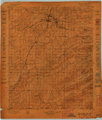
1898 · McAlester
USGS Topo · 1:125,000
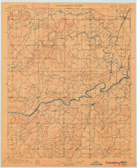
1900 · Canadian
USGS Topo · 1:125,000
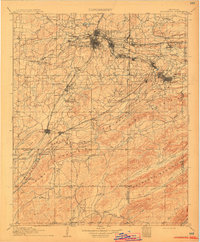
1909 · Mc Alester
USGS Topo · 1:125,000

1946 · Fort Smith
USGS Topo · 1:250,000

1950 · Mcalester
USGS Topo · 1:250,000
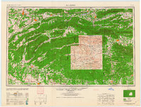
1962 · McAlester
USGS Topo · 1:250,000
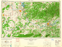
1965 · Fort Smith
USGS Topo · 1:250,000
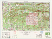
1965 · McAlester
USGS Topo · 1:250,000
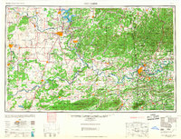
1967 · Fort Smith
USGS Topo · 1:250,000
1967 · Krebs
USGS Topo · 1:24,000