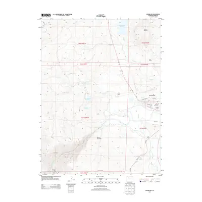
2013 Map of Kremmling
USGS Topo · Published 2013About this map
The Colorado River and Blue River converge just south of the town of Kremmling, a critical junction in Grand County's high-country ranching and water history. This 2013 survey details a landscape defined by traditional cattle operations, including the Martin Ranch, De Berard Ranch, and Yust Ranch, alongside major water management features like the Wolford Mountain Reservoir and the Loback Ditch. The town site itself is shown with its grid of streets such as Kinsey Ave and Eagle Ave, as well as the Kremmling Riverside Cemetery and Mc Elroy Airfield. Topography transitions from the Gore Range to the south toward the heights of Wolford Mountain and San Toy Mountain, illustrating the narrow valleys and gulches like Beaver Dam Gulch that channeled early settlement and transportation routes like Us-40 and Trough Rd.
Find a feature on this map
45 named features on this map. Tap any name to fly to it.
Don’t see what you’re looking for? This feature index may not catch every label — zoom into the map to look around manually.
Map Details
Editions of this 2013 Kremmling Map
This is the sole edition of this map. No revisions or reprints were ever made.
Other maps of this area

1933 · Mt. Powell
USGS Topo · 1:48,000

1940 · Mount Powell
USGS Topo · 1:62,500

1954 · Craig
USGS Topo · 1:250,000

1956 · Kremmling
USGS Topo · 1:62,500

1956 · Gore Pass
USGS Topo · 1:62,500

1957 · Craig
USGS Topo · 1:250,000

1957 · Leadville
USGS Topo · 1:250,000

1958 · Craig
USGS Topo · 1:250,000

1959 · Leadville
USGS Topo · 1:250,000

1960 · Leadville
USGS Topo · 1:250,000