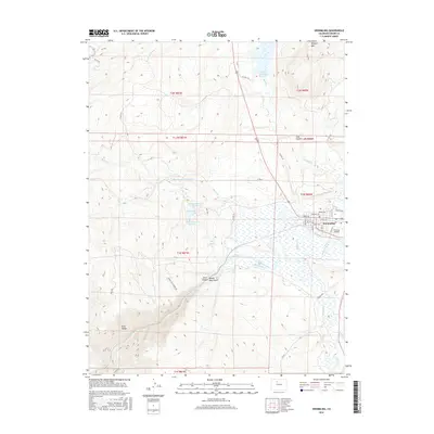
2016 Map of Kremmling
USGS Topo · Published 2016About this map
The Colorado River and the Blue River meet near the town of Kremmling, marking a significant hydrologic junction in this mountain valley. The town layout is clearly defined by its street grid, including Central Ave and Park Ave, while the local aviation history is represented by Mc Elroy Airfield. Water management is a dominant theme of the landscape, seen in the large Wolford Mountain Reservoir and a series of smaller municipal sites like City Reservoir, Jones Reservoir Number 1, and Jones Reservoir Number 2.
Find a feature on this map
48 named features on this map. Tap any name to fly to it.
Don’t see what you’re looking for? This feature index may not catch every label — zoom into the map to look around manually.
Map Details
Editions of this 2016 Kremmling Map
This is the sole edition of this map. No revisions or reprints were ever made.
Other maps of this area

1933 · Mt. Powell
USGS Topo · 1:48,000

1940 · Mount Powell
USGS Topo · 1:62,500

1954 · Craig
USGS Topo · 1:250,000

1956 · Kremmling
USGS Topo · 1:62,500

1956 · Gore Pass
USGS Topo · 1:62,500

1957 · Craig
USGS Topo · 1:250,000

1957 · Leadville
USGS Topo · 1:250,000

1958 · Craig
USGS Topo · 1:250,000

1959 · Leadville
USGS Topo · 1:250,000

1960 · Leadville
USGS Topo · 1:250,000