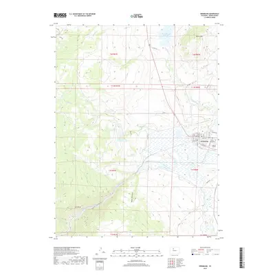
2019 Map of Kremmling
USGS Topo · Published 2019About this map
Kremmling stands at a significant high-country crossroads where the Colorado River meets the Blue River, a confluence that has long anchored this part of Grand County. The town site is bounded by the dramatic descent of the Gore Range into Gore Canyon to the southwest and the rising heights of Wolford Mtn to the northeast. This 2019 survey captures a landscape defined by water management and aviation, featuring the Wolford Mountain Reservoir and the McElroy Airfield situated just east of the town center.
Find a feature on this map
46 named features on this map. Tap any name to fly to it.
Don’t see what you’re looking for? This feature index may not catch every label — zoom into the map to look around manually.
Map Details
Editions of this 2019 Kremmling Map
This is the sole edition of this map. No revisions or reprints were ever made.
Other maps of this area

1933 · Mt. Powell
USGS Topo · 1:48,000

1940 · Mount Powell
USGS Topo · 1:62,500

1954 · Craig
USGS Topo · 1:250,000

1956 · Kremmling
USGS Topo · 1:62,500

1956 · Gore Pass
USGS Topo · 1:62,500

1957 · Craig
USGS Topo · 1:250,000

1957 · Leadville
USGS Topo · 1:250,000

1958 · Craig
USGS Topo · 1:250,000

1959 · Leadville
USGS Topo · 1:250,000

1960 · Leadville
USGS Topo · 1:250,000