2022 Map of Kremmling
USGS Topo · Published 2022About this map
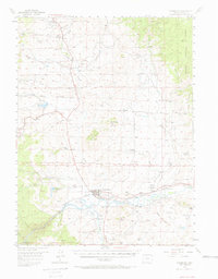
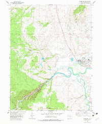
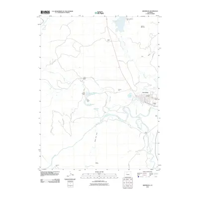
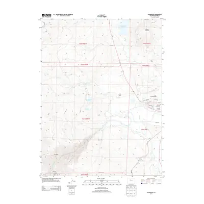
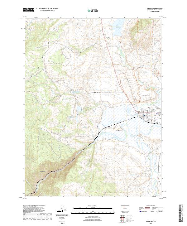
The confluence of the Colorado River and the Blue River anchors this landscape in Grand County, where the town of Kremmling serves as a central hub. The town's grid is meticulously detailed with street names like Kinsey Ave and Range Ave, extending toward the McElroy Airfield and the Kremmling Cem. To the north, the massive Wolford Mountain Reservoir dominates the drainage of Muddy Cr, while the high country to the west is defined by the steep elevation of the Gore Range and the dramatic drop of Gore Canyon.
Find a feature on this map
55 named features on this map. Tap any name to fly to it.
Don’t see what you’re looking for? This feature index may not catch every label — zoom into the map to look around manually.
Map Details
Editions of this 2022 Kremmling Map
This is the sole edition of this map. No revisions or reprints were ever made.
Historical Maps of Kremmling Through Time
7 maps found