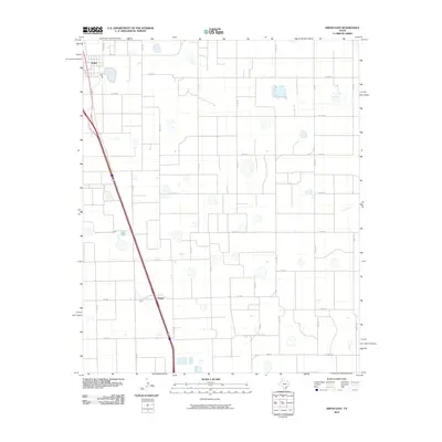
2010 Map of Kress East
USGS Topo · Published 2010About this map
Kress and the smaller community of Finney anchor this agricultural section of Swisher County, where a rigid grid of farm-to-market roads and county lines organizes the high plains landscape. The region's heavy reliance on groundwater for irrigation is suggested by the presence of Well Rd and numerous localized depressions scattered across the fields. Major transportation routes like FM 145 and FM 400 cut through the geometric network of numbered and lettered county roads, such as Co Rd BB and Co Rd EE, which facilitate the movement of local harvest. The diagonal transit corridor through the western portion of the quadrangle contrasts with the otherwise orderly north-south and east-west orientation of the surrounding acreage.
Find a feature on this map
27 named features on this map. Tap any name to fly to it.
Don’t see what you’re looking for? This feature index may not catch every label — zoom into the map to look around manually.
Map Details
Editions of this 2010 Kress East Map
This is the sole edition of this map. No revisions or reprints were ever made.
Other maps of this area

1954 · Plainview
USGS Topo · 1:250,000

1958 · Plainview
USGS Topo · 1:250,000

1965 · Edmonson NE
USGS Topo · 1:24,000

1965 · Kress West
USGS Topo · 1:24,000

1965 · Wasson
USGS Topo · 1:24,000

1965 · Plainview
USGS Topo · 1:24,000

1968 · Aiken
USGS Topo · 1:24,000

1969 · Kress East
USGS Topo · 1:24,000

1969 · Claytonville
USGS Topo · 1:24,000

1969 · Claytonville NW
USGS Topo · 1:24,000