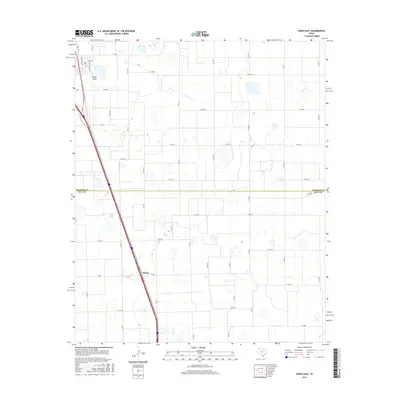
2016 Map of Kress East
USGS Topo · Published 2016About this map
The High Plains of the Texas Panhandle are documented here as they appeared in 2016, defined by a rigid grid of agricultural roads and the crossing of the Swisher Co Hale Co line. The settlement of Finney serves as a primary waypoint along the corridor of U.S. Route 87, which cuts diagonally across the otherwise rectilinear landscape. This area is characterized by numerous small playa lakes or depressions scattered across the plains, often found near named local thoroughfares like Well Rd and Way Rd. To the north, the ephemeral watercourse of Rock Draw provides one of the few natural breaks in the topography. The northern edge of the map includes residential streets on the outskirts of town, such as Nicholson Ave and Caldwell Ave, illustrating the transition from rural acreage to organized township blocks.
Find a feature on this map
35 named features on this map. Tap any name to fly to it.
Don’t see what you’re looking for? This feature index may not catch every label — zoom into the map to look around manually.
Map Details
Editions of this 2016 Kress East Map
This is the sole edition of this map. No revisions or reprints were ever made.
Other maps of this area

1954 · Plainview
USGS Topo · 1:250,000

1958 · Plainview
USGS Topo · 1:250,000

1965 · Edmonson NE
USGS Topo · 1:24,000

1965 · Kress West
USGS Topo · 1:24,000

1965 · Wasson
USGS Topo · 1:24,000

1965 · Plainview
USGS Topo · 1:24,000

1968 · Aiken
USGS Topo · 1:24,000

1969 · Kress East
USGS Topo · 1:24,000

1969 · Claytonville
USGS Topo · 1:24,000

1969 · Claytonville NW
USGS Topo · 1:24,000