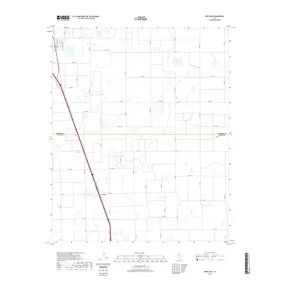
2019 Map of Kress East
USGS Topo · Published 2019About this map
The agricultural High Plains of the Texas Panhandle define this landscape, where the town of Kress and the smaller settlement of Finney anchor a geometric grid of rural roads and farmsteads. Located on the Swisher County and Hale County line, the area is characterized by vast irrigation and drainage patterns typical of the region's industrial-scale farming. In the northern section, Kress shows a developed street plan including E Main St, Nicholson Ave, and Caldwell Ave. The terrain is generally flat, marked by ephemeral water bodies and the subtle drainage of Rock Draw to the northeast. Beyond the settlements, the map documents a dense network of county and farm-to-market roads, such as Way Rd, Well Rd, and the uniquely named Xray Rd, which facilitate the movement of goods across this productive corner of the Llano Estacado.
Find a feature on this map
45 named features on this map. Tap any name to fly to it.
Don’t see what you’re looking for? This feature index may not catch every label — zoom into the map to look around manually.
Map Details
Editions of this 2019 Kress East Map
This is the sole edition of this map. No revisions or reprints were ever made.
Other maps of this area

1954 · Plainview
USGS Topo · 1:250,000

1958 · Plainview
USGS Topo · 1:250,000

1965 · Edmonson NE
USGS Topo · 1:24,000

1965 · Kress West
USGS Topo · 1:24,000

1965 · Wasson
USGS Topo · 1:24,000

1965 · Plainview
USGS Topo · 1:24,000

1968 · Aiken
USGS Topo · 1:24,000

1969 · Kress East
USGS Topo · 1:24,000

1969 · Claytonville
USGS Topo · 1:24,000

1969 · Claytonville NW
USGS Topo · 1:24,000