
1953 Map of Kreybill
USGS Topo · Published 1954About this map
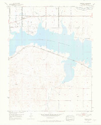
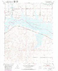
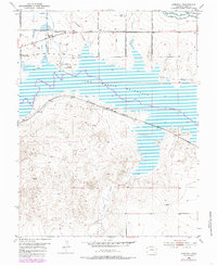
John Martin Reservoir dominates this high plains landscape, its waters submerging portions of the legendary Old Santa Fe Trail. This 1953 survey records a region defined by historical transitions and irrigation engineering, featuring significant sites like the Old Fort Lyon and Fort Bent markers along the northern banks. The settlement of Kreybill serves as a small local hub, supported by the Kreybill Sch and the vital infrastructure of the Atchison Topeka and Santa Fe railroad line.
Find a feature on this map
27 named features on this map. Tap any name to fly to it.
Don’t see what you’re looking for? This feature index may not catch every label — zoom into the map to look around manually.
Map Details
Editions of this 1953 Kreybill Map
4 editions found
Other maps of this area

1891 · Higbee
USGS Topo · 1:125,000

1891 · Las Animas
USGS Topo · 1:125,000

1892 · Lamar
USGS Topo · 1:125,000

1892 · Two Butte
USGS Topo · 1:125,000

1893 · Higbee
USGS Topo · 1:125,000

1893 · Two Butte
USGS Topo · 1:125,000

1893 · Las Animas
USGS Topo · 1:125,000

1953 · Hasty
USGS Topo · 1:24,000

1953 · Las Animas
USGS Topo · 1:24,000

1954 · Lamar
USGS Topo · 1:250,000