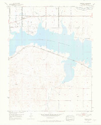
1953 Map of Kreybill
USGS Topo · Published 1969About this map
The John Martin Reservoir dominates this landscape in Bent County, Colorado, where the waters of the Arkansas River valley meet a deep history of western expansion. This 1953 survey captures the terrain as it transitioned from a historical travel corridor to a managed water resource. The Old Santa Fe Trail cuts across the northern plains, marked by several significant historical sites including Old Fort Lyon (Historical Marker) and Fort Bent (Historical Marker). These landmarks provide tangible connection points to the frontier era, while the nearby Atchison Topeka and Santa Fe railroad and the small settlement of Kreybill represent the agricultural and transport infrastructure of the mid-20th century. Local schooling was anchored by the Kreybill Sch, serving a rural population that relied on water management features like the Kicking Bird Canal and numerous drainage systems including Gageby Creek and Rule Creek.
Find a feature on this map
17 named features on this map. Tap any name to fly to it.
Don’t see what you’re looking for? This feature index may not catch every label — zoom into the map to look around manually.
Map Details
Editions of this 1953 Kreybill Map
4 editions found
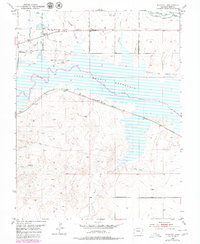
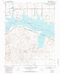
Other maps of this area

1891 · Higbee
USGS Topo · 1:125,000

1891 · Las Animas
USGS Topo · 1:125,000

1892 · Lamar
USGS Topo · 1:125,000

1892 · Two Butte
USGS Topo · 1:125,000

1893 · Higbee
USGS Topo · 1:125,000

1893 · Two Butte
USGS Topo · 1:125,000

1893 · Las Animas
USGS Topo · 1:125,000

1953 · Hasty
USGS Topo · 1:24,000

1953 · Las Animas
USGS Topo · 1:24,000

1953 · Kreybill
USGS Topo · 1:24,000