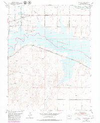
1953 Map of Kreybill
USGS Topo · Published 1979About this map
The John Martin Reservoir dominates the landscape of this portion of Bent County, representing a mid-century transformation of the Arkansas River valley. Along the northern shoreline and bluffs, the historical record is deeply layered, showing the Old Santa Fe Trail passing near markers for Old Fort Lyon and Fort Bent. These landmarks signify the area's importance as a nineteenth-century corridor for western expansion and military presence.
Find a feature on this map
20 named features on this map. Tap any name to fly to it.
Don’t see what you’re looking for? This feature index may not catch every label — zoom into the map to look around manually.
Map Details
Editions of this 1953 Kreybill Map
4 editions found
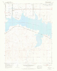
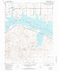
Other maps of this area

1891 · Higbee
USGS Topo · 1:125,000

1891 · Las Animas
USGS Topo · 1:125,000

1892 · Lamar
USGS Topo · 1:125,000

1892 · Two Butte
USGS Topo · 1:125,000

1893 · Higbee
USGS Topo · 1:125,000

1893 · Two Butte
USGS Topo · 1:125,000

1893 · Las Animas
USGS Topo · 1:125,000

1953 · Hasty
USGS Topo · 1:24,000

1953 · Las Animas
USGS Topo · 1:24,000

1953 · Kreybill
USGS Topo · 1:24,000