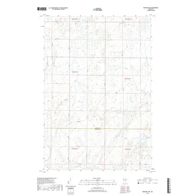
2019 Map of Kroschel NW
USGS Topo · Published 2019About this map
The Snake River winds through the southern reaches of this landscape, marking the transition from the low-lying wetlands of Kanabec Co into Aitkin Co. This 2019 survey documents a sparsely populated area defined by its intricate drainage networks, including Cousins Brook and Chelsey Brook, which feed into larger river systems. The northern sections are dominated by vast wetland complexes and small ponds, with Lake Five serving as a prominent landmark in the southeast corner. Human presence is largely defined by a grid of rural routes and logging infrastructure, such as Loging Rd and Forrest Rd, which navigate the varying elevations. This map is particularly useful for understanding modern land use and water management in the region, showing how section lines and county boundaries intersect with the natural flow of the glacial terrain.
Find a feature on this map
36 named features on this map. Tap any name to fly to it.
Don’t see what you’re looking for? This feature index may not catch every label — zoom into the map to look around manually.
Map Details
Editions of this 2019 Kroschel NW Map
This is the sole edition of this map. No revisions or reprints were ever made.
Other maps of this area

1953 · Duluth
USGS Topo · 1:250,000

1958 · Duluth
USGS Topo · 1:250,000

1968 · Kroschel NW
USGS Topo · 1:24,000

1968 · Pomroy Lake
USGS Topo · 1:24,000

1968 · Warman
USGS Topo · 1:24,000

1968 · Giese
USGS Topo · 1:24,000
1968 · Kroschel
USGS Topo · 1:24,000

1968 · Mc Grath
USGS Topo · 1:24,000

1969 · Solana
USGS Topo · 1:24,000

1969 · Arthyde
USGS Topo · 1:24,000