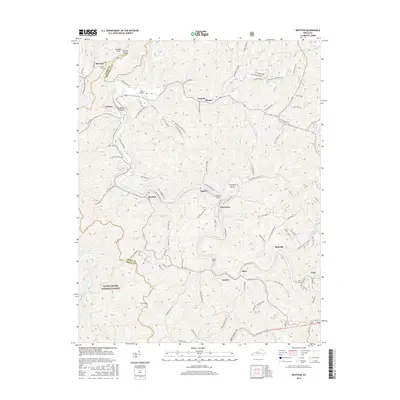
2016 Map of Krypton
USGS Topo · Published 2016About this map
Krypton and Napfor sit within a landscape defined by the winding North Fork of the Kentucky River, where the local infrastructure follows the deep bends and narrow valleys of Perry County. The region's transport history is marked by several engineering landmarks, including the Campbell Tunnel, Yerkes Tunnel, and the Typo Tunnel, which facilitate passage through the high ridges. These tunnels, along with the Chavies Bridge, illustrate the difficulty of movement before modern road improvements like the Coalfields Industrial Dr were established.
Find a feature on this map
91 named features on this map. Tap any name to fly to it.
Don’t see what you’re looking for? This feature index may not catch every label — zoom into the map to look around manually.
Map Details
Editions of this 2016 Krypton Map
This is the sole edition of this map. No revisions or reprints were ever made.
Other maps of this area

1891 · Hazard
USGS Topo · 1:125,000

1913 · Buckhorn
USGS Topo · 1:62,500

1914 · Troublesome
USGS Topo · 1:62,500

1916 · Cornettsville
USGS Topo · 1:62,500

1916 · Hyden
USGS Topo · 1:48,000

1919 · Hyden
USGS Topo · 1:62,500

1953 · Buckhorn
USGS Topo · 1:24,000

1953 · Hyden West
USGS Topo · 1:24,000

1954 · Noble
USGS Topo · 1:24,000

1954 · Krypton
USGS Topo · 1:24,000