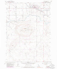
1958 Map of Kuna
USGS Topo · Published 1986About this map
Kuna serves as the focal point of this mid-century survey, situated along the Oregon Short Line Railroad and the waters of Indian Creek. The map documents a highly engineered agricultural landscape, where the Mora Canal and North Canal feed an intricate network of irrigation features including the Teed Lateral, Ramsey Lateral, and the Mc Clenagan Siphon. These water systems represent the critical infrastructure that transformed the high desert into productive farmland near the Canyon and Ada county line.
Find a feature on this map
25 named features on this map. Tap any name to fly to it.
Don’t see what you’re looking for? This feature index may not catch every label — zoom into the map to look around manually.
Map Details
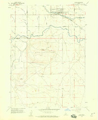
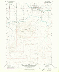
Editions of this 1958 Kuna Map
3 editions found
Other maps of this area

1892 · Boise
USGS Topo · 1:125,000

1892 · Bisuka
USGS Topo · 1:125,000

1892 · Silver City
USGS Topo · 1:125,000

1894 · Bisuka
USGS Topo · 1:125,000

1894 · Silver City
USGS Topo · 1:125,000

1897 · Boise
USGS Topo · 1:125,000

1898 · Nampa
USGS Topo · 1:125,000

1898 · Silver City
USGS Topo · 1:125,000

1953 · Cloverdale
USGS Topo · 1:24,000

1953 · Meridian
USGS Topo · 1:24,000