
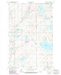
1972 Map of Kunkel Lake
USGS Topo · Published 1974About this map
Glacial prairie potholes and wetlands define this Kidder County landscape, captured in detail by the North Dakota Water Commission and the USGS. The sheet is dominated by several large water bodies, including Kunkel Lake and the irregular shoreline of Lake Williams. These basins are surrounded by hundreds of smaller marshes and depressions within the National Waterfowl Production Area, highlighting the region's importance as a migratory habitat. Small-scale infrastructure like the Burlington Northern railroad corridor in the northeast and a remote Landing Field near the center reflect the sparse, agricultural nature of the plains. Local history is anchored by rural landmarks such as a small Cem and family-named sections like Robinson, Quimby, and Buckeye, which hint at the early 20th-century settlement patterns and ranching legacy of the area.
Find a feature on this map
15 named features on this map. Tap any name to fly to it.
Don’t see what you’re looking for? This feature index may not catch every label — zoom into the map to look around manually.
Map Details
Editions of this 1972 Kunkel Lake Map
2 editions found
Other maps of this area

1952 · Tappen NE
USGS Topo · 1:24,000

1952 · Tappen North
USGS Topo · 1:24,000

1952 · Steele NE
USGS Topo · 1:24,000

1952 · New Rockford
USGS Topo · 1:250,000

1953 · Jamestown
USGS Topo · 1:250,000

1956 · New Rockford
USGS Topo · 1:250,000

1956 · Jamestown
USGS Topo · 1:250,000

1971 · New Rockford
USGS Topo · 1:250,000
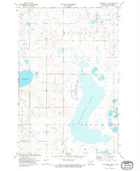
1972 · Horsehead Lake
USGS Topo · 1:24,000

1972 · Lake Williams
USGS Topo · 1:24,000