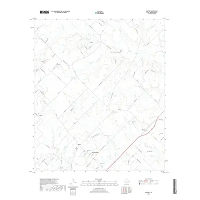
2019 Map of Kurten
USGS Topo · Published 2019About this map
Kurten and the surrounding Brazos County ranch lands are defined by a network of creeks and prairie transitions in this modern topographic record. The landscape is dotted with numerous small family and community burial grounds, including the Old Cottonwood Cem, Ebenezer Cem, and Reed Cem, providing a detailed look at the rural settlement patterns that have persisted for generations. The geography moves from the open String Prairie through timbered draws carved by Ferrill Br and Wickson Cr.
Find a feature on this map
88 named features on this map. Tap any name to fly to it.
Don’t see what you’re looking for? This feature index may not catch every label — zoom into the map to look around manually.
Map Details
Editions of this 2019 Kurten Map
This is the sole edition of this map. No revisions or reprints were ever made.
Other maps of this area

1925 · Iola No 2
USGS Topo · 1:48,000

1931 · Iola
USGS Topo · 1:62,500

1954 · Austin
USGS Topo · 1:250,000

1956 · Bryan
USGS Topo · 1:62,500

1956 · Carlos
USGS Topo · 1:62,500

1959 · Clear Lake
USGS Topo · 1:24,000

1959 · Reliance
USGS Topo · 1:24,000

1962 · Edge
USGS Topo · 1:24,000

1962 · Wheelock
USGS Topo · 1:24,000

1962 · Bryan East
USGS Topo · 1:24,000