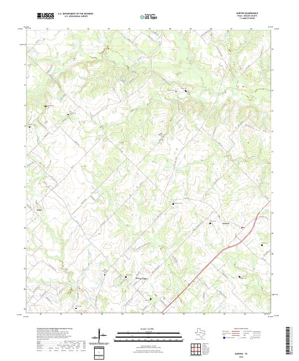
2022 Map of Kurten
USGS Topo · Published 2022About this map
The Brazos County countryside northeast of Bryan reveals a landscape of dispersed settlements and generational burial grounds. Small communities like Kurten and Wixon Valley anchor the area, connected by routes such as FM 2776 and Dilly Shaw Tap Rd. This geography is defined by a dense network of family-named landmarks and creek systems including Ferrill Br, Sand Cr, and Wickson Cr.
Find a feature on this map
90 named features on this map. Tap any name to fly to it.
Don’t see what you’re looking for? This feature index may not catch every label — zoom into the map to look around manually.
Map Details
Editions of this 2022 Kurten Map
This is the sole edition of this map. No revisions or reprints were ever made.
Other maps of this area

1925 · Iola No 2
USGS Topo · 1:48,000

1931 · Iola
USGS Topo · 1:62,500

1954 · Austin
USGS Topo · 1:250,000

1956 · Bryan
USGS Topo · 1:62,500

1956 · Carlos
USGS Topo · 1:62,500

1959 · Clear Lake
USGS Topo · 1:24,000

1959 · Reliance
USGS Topo · 1:24,000

1962 · Edge
USGS Topo · 1:24,000

1962 · Wheelock
USGS Topo · 1:24,000

1962 · Bryan East
USGS Topo · 1:24,000