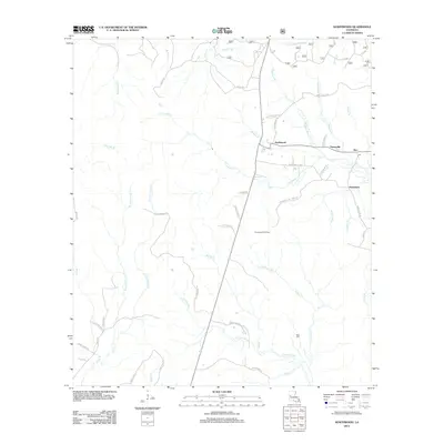
2012 Map of Kurthwood
USGS Topo · Published 2012About this map
Kurthwood and its neighboring timber-era settlements of Fisherville, Alco, and Dusenbury sit within a landscape defined by an intricate network of creeks and bayous in central Louisiana. The upper reaches of the Calcasieu River flow through the southern portion of the map, while Little Kisatchie Bayou drains the northern edge. This survey documents the intersection of rural parish roads and logging-related infrastructure, most notably the Kurthwood Fire Tower which stands as a landmark for forest management in the region.
Find a feature on this map
56 named features on this map. Tap any name to fly to it.
Don’t see what you’re looking for? This feature index may not catch every label — zoom into the map to look around manually.
Map Details
Editions of this 2012 Kurthwood Map
This is the sole edition of this map. No revisions or reprints were ever made.
Other maps of this area

1941 · Leesville
USGS Topo · 1:62,500

1941 · Slagle
USGS Topo · 1:62,500

1942 · Florien
USGS Topo · 1:62,500

1942 · Kisatchie
USGS Topo · 1:62,500

1943 · Leesville
USGS Topo · 1:62,500

1943 · Kisatchie
USGS Topo · 1:62,500

1944 · Florien
USGS Topo · 1:62,500

1944 · Slagle
USGS Topo · 1:62,500

1946 · Leesville
USGS Topo · 1:62,500

1948 · Leesville
USGS Topo · 1:62,500