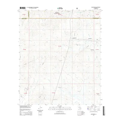
2015 Map of Kurthwood
USGS Topo · Published 2015About this map
The Kisatchie National Forest dominates this Central Louisiana landscape, where the borders of Sabine, Natchitoches, and Vernon Parishes meet. The timber-rich terrain is defined by a dense network of creek drainages, including Comrade Cr, Blackjack Br, and Bull Bay Br, which flow toward the southern reaches of the Calcasieu River. Small settlements such as Kurthwood, Fisherville, and Alco are situated along the roadway network, reflecting the area's long-standing connection to the regional lumber industry.
Find a feature on this map
62 named features on this map. Tap any name to fly to it.
Don’t see what you’re looking for? This feature index may not catch every label — zoom into the map to look around manually.
Map Details
Editions of this 2015 Kurthwood Map
This is the sole edition of this map. No revisions or reprints were ever made.
Other maps of this area

1941 · Leesville
USGS Topo · 1:62,500

1941 · Slagle
USGS Topo · 1:62,500

1942 · Florien
USGS Topo · 1:62,500

1942 · Kisatchie
USGS Topo · 1:62,500

1943 · Leesville
USGS Topo · 1:62,500

1943 · Kisatchie
USGS Topo · 1:62,500

1944 · Florien
USGS Topo · 1:62,500

1944 · Slagle
USGS Topo · 1:62,500

1946 · Leesville
USGS Topo · 1:62,500

1948 · Leesville
USGS Topo · 1:62,500