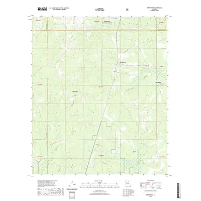
2020 Map of Kurthwood
USGS Topo · Published 2020About this map
Kisatchie National Forest defines the wooded landscape of Vernon Parish, where numerous small settlements and military lands converge. The northern portion of the Fort Polk military reservation occupies a significant section of the terrain, marked by a network of tank trails and service roads like Cold Springs Rd and Tank Trail Rd. Small communities such as Kurthwood, Fisherville, Alco, and Dusenbury dot the eastern side of the survey, reflecting the region's rural character and its relationship with the surrounding timberlands and military activity.
Find a feature on this map
63 named features on this map. Tap any name to fly to it.
Don’t see what you’re looking for? This feature index may not catch every label — zoom into the map to look around manually.
Map Details
Editions of this 2020 Kurthwood Map
This is the sole edition of this map. No revisions or reprints were ever made.
Other maps of this area

1941 · Leesville
USGS Topo · 1:62,500

1941 · Slagle
USGS Topo · 1:62,500

1942 · Florien
USGS Topo · 1:62,500

1942 · Kisatchie
USGS Topo · 1:62,500

1943 · Leesville
USGS Topo · 1:62,500

1943 · Kisatchie
USGS Topo · 1:62,500

1944 · Florien
USGS Topo · 1:62,500

1944 · Slagle
USGS Topo · 1:62,500

1946 · Leesville
USGS Topo · 1:62,500

1948 · Leesville
USGS Topo · 1:62,500