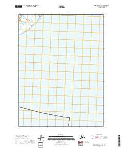
2018 Map of Kuskokwim Bay D-2 NE
USGS Topo · Published 2018About this map
The Pacific Ocean dominates this coastal Alaska environment near the Kuskokwim Bay region during the late 2010s. This specific map focuses on an area largely characterized by open water and tidal flats, reflecting the remote and shifting maritime landscape of the Bethel Census Area. The grid lines of T2s R77w provide a structural reference for the Public Land Survey System over a region where solid ground is a rarity. The lack of named settlements or roads emphasizes the isolation of this stretch of the Alaskan coastline, where the environment is defined more by its natural hydrography than by human habitation or industry.
Find a feature on this map
2 named features on this map. Tap any name to fly to it.
Don’t see what you’re looking for? This feature index may not catch every label — zoom into the map to look around manually.
Map Details
Editions of this 2018 Kuskokwim Bay D-2 NE Map
This is the sole edition of this map. No revisions or reprints were ever made.
Other maps of this area

1951 · Kuskokwim Bay
USGS Topo · 1:250,000

1951 · Baird Inlet
USGS Topo · 1:250,000
1953 · Kuskokwim Bay D-2
USGS Topo · 1:63,360

1954 · Baird Inlet
USGS Topo · 1:250,000

1954 · Kuskokwim Bay
USGS Topo · 1:250,000
1954 · Baird Inlet A-1
USGS Topo · 1:63,360
1954 · Kuskokwim Bay D-1
USGS Topo · 1:63,360
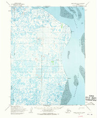
1954 · Baird Inlet A-2
USGS Topo · 1:63,360
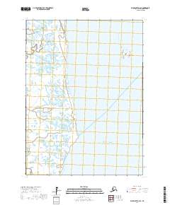
2017 · Baird Inlet A-2 SE
USGS Topo · 1:25,000
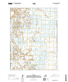
2017 · Baird Inlet A-2 SW
USGS Topo · 1:25,000