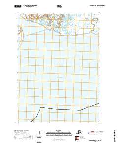
2018 Map of Kuskokwim Bay D-2 NW
USGS Topo · Published 2018About this map
The Ishkowik River meanders through the coastal lowlands of the Bethel Census Area as it approaches its terminus in this maritime stretch of Alaska. The northern portion of the map is dominated by the intricate wetlands and tidal channels typical of the delta region, where freshwater drainage meets the salt of the Pacific Ocean. This 2018 survey, produced by the U.S. Geological Survey, emphasizes the intersection of these hydrology systems within the Public Land Survey System grids of t2s r78w and t3s r78w. The landscape here is a study in aquatic geography, showing the transition from riverine flow to the open sea along a largely unsettled coastline.
Find a feature on this map
5 named features on this map. Tap any name to fly to it.
Don’t see what you’re looking for? This feature index may not catch every label — zoom into the map to look around manually.
Map Details
Editions of this 2018 Kuskokwim Bay D-2 NW Map
This is the sole edition of this map. No revisions or reprints were ever made.
Other maps of this area

1951 · Kuskokwim Bay
USGS Topo · 1:250,000

1951 · Baird Inlet
USGS Topo · 1:250,000
1953 · Kuskokwim Bay D-2
USGS Topo · 1:63,360

1954 · Baird Inlet A-3
USGS Topo · 1:63,360

1954 · Baird Inlet
USGS Topo · 1:250,000

1954 · Kuskokwim Bay
USGS Topo · 1:250,000
1954 · Baird Inlet A-2
USGS Topo · 1:63,360
1954 · Kuskokwim Bay D-3
USGS Topo · 1:63,360
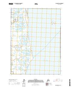
2017 · Baird Inlet A-2 SE
USGS Topo · 1:25,000
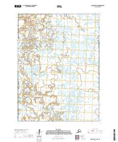
2017 · Baird Inlet A-2 SW
USGS Topo · 1:25,000