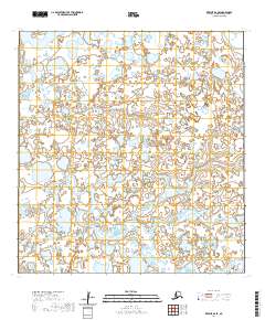
2020 Map of Kwiguk B-6 SE
USGS Topo · Published 2020About this map
Anakshek Pass meanders through this portion of the Yukon-Kuskokwim Delta, defining a landscape of complex waterways and seasonal wetlands within the Kusilvak Census Area. The terrain is characterized by a dense network of ponds and minor channels typical of this subarctic alluvial plain. In the southern reach of the quadrangle, the Ponglevik River flows westward, cutting through the low-lying tundra. The mapping of these remote water routes reflects the vital importance of river navigation and seasonal subsistence corridors in this part of western Alaska, where the absence of roads makes these natural passes the primary arteries for movement across the delta.
Find a feature on this map
6 named features on this map. Tap any name to fly to it.
Don’t see what you’re looking for? This feature index may not catch every label — zoom into the map to look around manually.
Map Details
Editions of this 2020 Kwiguk B-6 SE Map
This is the sole edition of this map. No revisions or reprints were ever made.
Other maps of this area

1952 · Kwiguk
USGS Topo · 1:250,000

1952 · Kwiguk A-5
USGS Topo · 1:63,360

1952 · Kwiguk B-6
USGS Topo · 1:63,360

1952 · Kwiguk A-6
USGS Topo · 1:63,360

1952 · Kwiguk B-5
USGS Topo · 1:63,360
2020 · Kwiguk B-6 NE
USGS Topo · 1:25,000
2020 · Kwiguk B-5 SW
USGS Topo · 1:25,000
2020 · Kwiguk A-6 NW
USGS Topo · 1:25,000
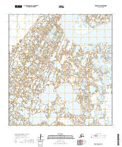
2020 · Kwiguk B-6 NW
USGS Topo · 1:25,000
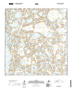
2020 · Kwiguk B-6 SW
USGS Topo · 1:25,000