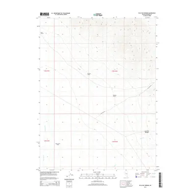
2014 Map of Kyle Hot Springs
USGS Topo · Published 2014About this map
Kyle Hot Springs sits at the eastern edge of the Buena Vista Valley, where the alluvial fans of the Humboldt Range meet the valley floor. This 2014 survey captures a landscape defined by dramatic drainage patterns and desert canyons, including Klondike Canyon, Harrison Canyon, and Reed Canyon. The area's hydrology is primarily seasonal, marked by the courses of Buena Vista Cr and Phelps Cr as they move toward the valley's center. Modern infrastructure is limited to Leach Canyon Rd, which cuts diagonally across the township lines. The map reveals the stark intersection of public land survey systems, such as t30n r36e, with the natural topography of Pershing County, documenting the enduring isolation of this thermal feature and its surrounding basin.
Find a feature on this map
12 named features on this map. Tap any name to fly to it.
Don’t see what you’re looking for? This feature index may not catch every label — zoom into the map to look around manually.
Map Details
Editions of this 2014 Kyle Hot Springs Map
This is the sole edition of this map. No revisions or reprints were ever made.
Other maps of this area

1931 · Lovelock
USGS Topo · 1:250,000

1932 · Sonoma Range
USGS Topo · 1:250,000

1935 · Lovelock
USGS Topo · 1:250,000

1939 · Sonoma Range
USGS Topo · 1:250,000

1954 · Unionville
USGS Topo · 1:62,500

1955 · Lovelock
USGS Topo · 1:250,000

1955 · Winnemucca
USGS Topo · 1:250,000

1956 · Imlay
USGS Topo · 1:62,500

1958 · Winnemucca
USGS Topo · 1:250,000

1959 · Lovelock
USGS Topo · 1:250,000