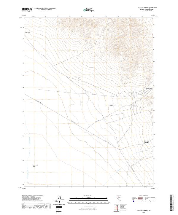
2021 Map of Kyle Hot Springs
USGS Topo · Published 2021About this map
Kyle Hot Springs sits at the base of the mountains along the eastern edge of the Buena Vista Valley, a focal point in this arid Pershing County landscape. This 2021 survey details the network of desert roads, including Kyle Hot Springs Rd and Leach Canyon Rd, that navigate the alluvial fans and drainage systems of the Humboldt Range. The terrain is defined by dramatic elevation changes where deep cuts like Klondike Canyon, Harrison Canyon, and Reed Canyon spill out into the valley floor. To the west, the ephemeral courses of Buena Vista Cr and Phelps Cr underscore the water-dependent settlement patterns of the Great Basin, where geological features and thermal springs historically dictated the location of stops and small outposts in an otherwise demanding environment.
Find a feature on this map
13 named features on this map. Tap any name to fly to it.
Don’t see what you’re looking for? This feature index may not catch every label — zoom into the map to look around manually.
Map Details
Editions of this 2021 Kyle Hot Springs Map
This is the sole edition of this map. No revisions or reprints were ever made.
Other maps of this area

1931 · Lovelock
USGS Topo · 1:250,000

1932 · Sonoma Range
USGS Topo · 1:250,000

1935 · Lovelock
USGS Topo · 1:250,000

1939 · Sonoma Range
USGS Topo · 1:250,000

1954 · Unionville
USGS Topo · 1:62,500

1955 · Lovelock
USGS Topo · 1:250,000

1955 · Winnemucca
USGS Topo · 1:250,000

1956 · Imlay
USGS Topo · 1:62,500

1958 · Winnemucca
USGS Topo · 1:250,000

1959 · Lovelock
USGS Topo · 1:250,000