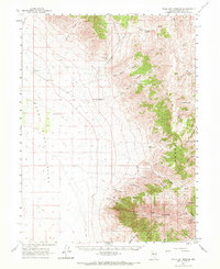
1961 Map of Kyle Hot Springs
USGS Topo · Published 1971About this map
Kyle Hot Springs sits at the base of the East Range in this high-desert landscape of central Nevada. The map documents a classic Great Basin environment where water is the primary driver of human presence, marked by scattered water sources like Sheppard Well, Salt Well, and several springs including Sulphur Spring and Bartomes Spr. In the northeastern reaches, the Star Point Mine and several gravel pits indicate the mining activity characteristic of the era. The terrain transitions from the low-lying Buena Vista Valley and Alkali Flat in the west to the steep peaks of Granite Mountain and Granite Peak in the southeast. Numerous deep drainages, such as Leach Canyon and French Boy Canyon, reveal a complex network of jeep trails used to navigate the high-relief topography near Cinnabar Ridge.
Find a feature on this map
41 named features on this map. Tap any name to fly to it.
Don’t see what you’re looking for? This feature index may not catch every label — zoom into the map to look around manually.
Map Details
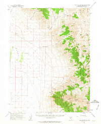
Editions of this 1961 Kyle Hot Springs Map
2 editions found
Other maps of this area

1931 · Lovelock
USGS Topo · 1:250,000

1932 · Sonoma Range
USGS Topo · 1:250,000

1935 · Lovelock
USGS Topo · 1:250,000

1939 · Sonoma Range
USGS Topo · 1:250,000

1954 · Unionville
USGS Topo · 1:62,500

1954 · Buffalo Mtn
USGS Topo · 1:62,500

1955 · Lovelock
USGS Topo · 1:250,000

1955 · Winnemucca
USGS Topo · 1:250,000

1956 · Imlay
USGS Topo · 1:62,500

1958 · Winnemucca
USGS Topo · 1:250,000