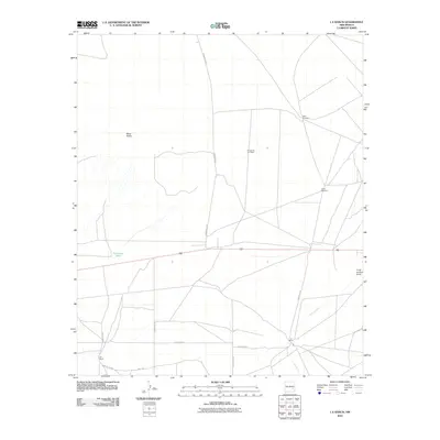
2010 Map of L E Ranch
USGS Topo · Published 2010About this map
L-E Ranch serves as the namesake for this high desert landscape, characterized by sparse ranching infrastructure and broad topographic features. The cattle-country economy is marked by essential water sources and landmarks like the Petty Windmill and Causy Windmill, which provide necessary relief in an arid environment. Notable landforms include the prominent Mesa Diablo and the evocative El Camino Del Diablo, while Long Arroyo and Long Arroyo Draw define the local drainage patterns. A network of rural routes, including Ponderosa Rd and various county roads like County Rd-54, connects the isolated ranch outposts across the plains. This survey provides a look at the modern layout of these large landholdings, preserving the locations of specific ranch sites and small-scale water management features like Red Lake Tank.
Find a feature on this map
16 named features on this map. Tap any name to fly to it.
Don’t see what you’re looking for? This feature index may not catch every label — zoom into the map to look around manually.
Map Details
Editions of this 2010 L E Ranch Map
This is the sole edition of this map. No revisions or reprints were ever made.
Other maps of this area

1949 · Sardine Mountain
USGS Topo · 1:24,000

1949 · Wade Ranch
USGS Topo · 1:24,000

1949 · Malstrom Ranch
USGS Topo · 1:24,000

1949 · L-E Ranch
USGS Topo · 1:24,000

1950 · Comanche Spring
USGS Topo · 1:24,000

1950 · Bottomless Lakes
USGS Topo · 1:24,000

1955 · Roswell
USGS Topo · 1:250,000

1958 · Roswell
USGS Topo · 1:250,000

1962 · Roswell
USGS Topo · 1:250,000

1962 · Acme
USGS Topo · 1:24,000