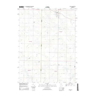
2014 Map of La Belle
USGS Topo · Published 2014About this map
La Belle serves as the primary population center in this northeastern Missouri landscape, straddling the border of Knox and Lewis counties. The town's grid of named streets, including Main St and Academy St, transitions into a surrounding rural territory defined by a dense network of watercourses and agricultural lands. To the west, the smaller settlement of Jeddo sits near the headwaters of Hawkins Br, while Salem occupies the southern reaches of the map.
Find a feature on this map
53 named features on this map. Tap any name to fly to it.
Don’t see what you’re looking for? This feature index may not catch every label — zoom into the map to look around manually.
Map Details
Editions of this 2014 La Belle Map
This is the sole edition of this map. No revisions or reprints were ever made.
Other maps of this area

1903 · Kahoka
USGS Topo · 1:125,000

1903 · Palmyra
USGS Topo · 1:125,000

1903 · Edina
USGS Topo · 1:125,000

1948 · Quincy
USGS Topo · 1:250,000

1950 · Williamstown
USGS Topo · 1:24,000

1950 · Lewistown
USGS Topo · 1:24,000

1950 · La Belle
USGS Topo · 1:24,000

1951 · La Belle
USGS Topo · 1:24,000
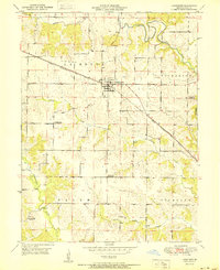
1951 · Lewistown
USGS Topo · 1:24,000
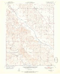
1951 · Williamstown
USGS Topo · 1:24,000