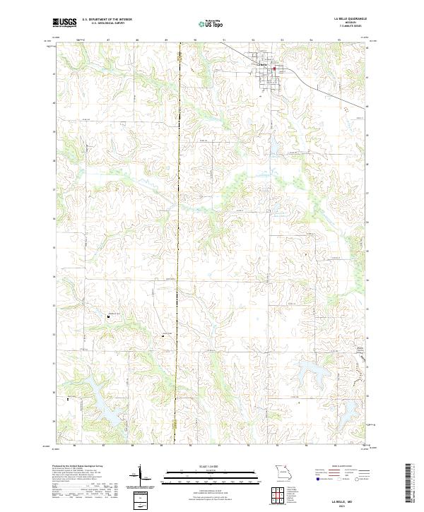
2021 Map of La Belle
USGS Topo · Published 2021About this map
La Belle anchors the northern reaches of this Missouri landscape, where the grid of city streets like Main St and Lincoln ST transitions abruptly into the agricultural terrain of the Knox Co and Lewis Co border. The drainage patterns of Troublesome Creek and its many tributaries, including Hawkins Branch and Sweet Oak Branch, dictate the winding paths of rural routes such as Co Rd 217. Local history and genealogy are well-represented by several small burial grounds scattered across the countryside, including Washburn Cemetery, Glover Cemetery, and Lear Cemetery. Modern land use is visible in the presence of Sharpe Farms Airport and recreational water bodies like New La Belle Lake and Laura M Baker Lake, illustrating the continued integration of family farming with regional infrastructure.
Find a feature on this map
60 named features on this map. Tap any name to fly to it.
Don’t see what you’re looking for? This feature index may not catch every label — zoom into the map to look around manually.
Map Details
Editions of this 2021 La Belle Map
This is the sole edition of this map. No revisions or reprints were ever made.
Other maps of this area

1903 · Kahoka
USGS Topo · 1:125,000

1903 · Palmyra
USGS Topo · 1:125,000

1903 · Edina
USGS Topo · 1:125,000

1948 · Quincy
USGS Topo · 1:250,000

1950 · Williamstown
USGS Topo · 1:24,000

1950 · Lewistown
USGS Topo · 1:24,000

1950 · La Belle
USGS Topo · 1:24,000

1951 · La Belle
USGS Topo · 1:24,000
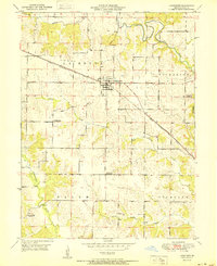
1951 · Lewistown
USGS Topo · 1:24,000
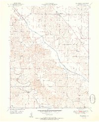
1951 · Williamstown
USGS Topo · 1:24,000