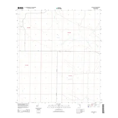
2015 Map of La Belle NW
USGS Topo · Published 2015About this map
Fisheating Cr winds through the heart of this landscape in the Florida interior, where complex drainage systems and sloughs dominate the geography. The map illustrates a predominantly agricultural and conservation-focused region defined by water movements and large land tracts. Notable water features like Rainey Slough and Chaparral Slough show the natural hydrology of the area, while smaller tributaries such as Bee Br feed into the larger system. The sparse infrastructure is anchored by primary local arteries including Cr-74, Cr-731, and Fire Tower Rd, reflecting a rural character where transport was dictated by the low-lying terrain. The grid-like survey lines across t40s r29e and adjacent sections highlight the intersection of government surveying and the fluid boundaries of the Florida wetlands.
Find a feature on this map
12 named features on this map. Tap any name to fly to it.
Don’t see what you’re looking for? This feature index may not catch every label — zoom into the map to look around manually.
Map Details
Editions of this 2015 La Belle NW Map
This is the sole edition of this map. No revisions or reprints were ever made.
Other maps of this area

1956 · Telegraph Swamp NE
USGS Topo · 1:24,000

1956 · West Palm Beach
USGS Topo · 1:250,000

1956 · Fort Pierce
USGS Topo · 1:250,000

1957 · West Palm Beach
USGS Topo · 1:250,000

1957 · Long Island Marsh SE
USGS Topo · 1:24,000

1957 · Venus
USGS Topo · 1:24,000

1957 · Venus SW
USGS Topo · 1:24,000

1957 · Telegraph Swamp SE
USGS Topo · 1:24,000

1958 · Fort Pierce
USGS Topo · 1:250,000

1958 · West Palm Beach
USGS Topo · 1:250,000