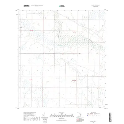
2021 Map of La Belle NW
USGS Topo · Published 2021About this map
Rainey Slough and the winding course of Fisheating Creek dominate this corner of Glades County, Florida, illustrating a landscape defined by seasonal water flow and conservation land. The presence of the Fisheating Creek Wildlife Management Area Trail signifies a region dedicated to wilderness preservation, where public land use is prioritized over urban development. This hydrological network is further connected by Chaparral Slough and Bee Br, which feed into the larger wetlands typical of the region north of Lake Okeechobee. Surface transportation is limited to a grid of rural routes such as Tasmania Rd and Fire Tower Rd, reflecting a low-density settlement pattern. The map showcases the transition from agricultural tracts to protected natural corridors, providing a detailed view of the area's environmental management in the early twenty-first century.
Find a feature on this map
15 named features on this map. Tap any name to fly to it.
Don’t see what you’re looking for? This feature index may not catch every label — zoom into the map to look around manually.
Map Details
Editions of this 2021 La Belle NW Map
This is the sole edition of this map. No revisions or reprints were ever made.
Other maps of this area

1956 · Telegraph Swamp NE
USGS Topo · 1:24,000

1956 · West Palm Beach
USGS Topo · 1:250,000

1956 · Fort Pierce
USGS Topo · 1:250,000

1957 · West Palm Beach
USGS Topo · 1:250,000

1957 · Long Island Marsh SE
USGS Topo · 1:24,000

1957 · Venus
USGS Topo · 1:24,000

1957 · Venus SW
USGS Topo · 1:24,000

1957 · Telegraph Swamp SE
USGS Topo · 1:24,000

1958 · Fort Pierce
USGS Topo · 1:250,000

1958 · West Palm Beach
USGS Topo · 1:250,000