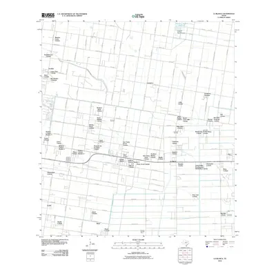
2010 Map of La Blanca
USGS Topo · Published 2010About this map
La Blanca and San Carlos anchor this detailed look at Hidalgo County's characteristic colonia developments during the early 21st century. The map reveals a dense grid of residential settlements and colonias, such as Cesar Chavez, Doolittle, and Rancho Nuevo Colonia, which developed alongside the region's agricultural and energy infrastructure. The landscape is defined by the intersection of irrigation and drainage systems like the Donna Drain and the Engelman Gardens Reservoir in the north, essential for the citrus and vegetable farming that historically drove the local economy.
Find a feature on this map
88 named features on this map. Tap any name to fly to it.
Don’t see what you’re looking for? This feature index may not catch every label — zoom into the map to look around manually.
Map Details
Editions of this 2010 La Blanca Map
This is the sole edition of this map. No revisions or reprints were ever made.
Other maps of this area

1914 · San Juan
USGS Topo · 1:48,000

1916 · San Juan
USGS Topo · 1:62,500

1949 · Mc Allen
USGS Topo · 1:250,000

1953 · Brownsville
USGS Topo · 1:250,000

1954 · McAllen
USGS Topo · 1:250,000

1956 · Mercedes
USGS Topo · 1:24,000

1956 · Brownsville
USGS Topo · 1:250,000

1956 · Port Isabel
USGS Topo · 1:250,000
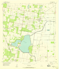
1957 · Lasara
USGS Topo · 1:24,000
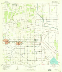
1957 · Edcouch
USGS Topo · 1:24,000
Featured Places
- Edinburg, TX
- Elsa, TX
- Hacienda de los Vegas Colonia, TX
- Palmas Colonia Number 2, TX
- Ruthven Number 1 Colonia, TX