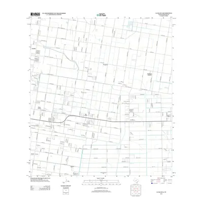
2012 Map of La Blanca
USGS Topo · Published 2012About this map
The agrarian and industrial landscape of the Rio Grande Valley is clearly defined here, showing a grid of settlements and irrigation infrastructure. The communities of La Blanca and San Carlos serve as central nodes in a network of rural residential clusters, including César Chávez, Muniz, and Nurillo. Water management, essential for the region's productivity, is represented by the Santa Cruz Canal and the Donna Drain, which cut across the geometric fields. Subsurface resources are equally significant, with the San Carlos Gas Field and La Blanca Gas Field indicating the persistent role of the energy sector alongside local agriculture. This survey documents the transition from traditional farming to denser residential development at the start of the decade, as seen in the expanding street layouts of Doolittle and Engleman Gardens.
Find a feature on this map
186 named features on this map. Tap any name to fly to it.
Don’t see what you’re looking for? This feature index may not catch every label — zoom into the map to look around manually.
Map Details
Editions of this 2012 La Blanca Map
This is the sole edition of this map. No revisions or reprints were ever made.
Other maps of this area

1914 · San Juan
USGS Topo · 1:48,000

1916 · San Juan
USGS Topo · 1:62,500

1949 · Mc Allen
USGS Topo · 1:250,000

1953 · Brownsville
USGS Topo · 1:250,000

1954 · McAllen
USGS Topo · 1:250,000

1956 · Mercedes
USGS Topo · 1:24,000

1956 · Brownsville
USGS Topo · 1:250,000

1956 · Port Isabel
USGS Topo · 1:250,000
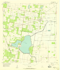
1957 · Lasara
USGS Topo · 1:24,000
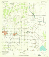
1957 · Edcouch
USGS Topo · 1:24,000
Featured Places
- Edinburg, TX
- Elsa, TX
- Hacienda de los Vegas Colonia, TX
- Palmas Colonia Number 2, TX
- Ruthven Number 1 Colonia, TX