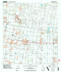
2002 Map of La Blanca
USGS Topo · Published 2003About this map
The Lower Rio Grande Valley National Wildlife Refuge and the Lrgvnwr dominate the western landscape of this Hidalgo County region, where the natural environment meets an extensive network of energy extraction and irrigation. The terrain is defined by its industrial productivity, anchored by the San Salvador Gas Field, San Carlos Gas Field, and La Blanca Gas Field. These fields sit alongside concentrated rural settlements like San Carlos, Evergreen, and Engleman Gardens, illustrating the close proximity of residential life to the Rio Grande Valley’s oil and gas infrastructure.
Find a feature on this map
30 named features on this map. Tap any name to fly to it.
Don’t see what you’re looking for? This feature index may not catch every label — zoom into the map to look around manually.
Map Details
Editions of this 2002 La Blanca Map
This is the sole edition of this map. No revisions or reprints were ever made.
Other maps of this area

1914 · San Juan
USGS Topo · 1:48,000

1916 · San Juan
USGS Topo · 1:62,500

1949 · Mc Allen
USGS Topo · 1:250,000

1953 · Brownsville
USGS Topo · 1:250,000

1954 · McAllen
USGS Topo · 1:250,000

1956 · Mercedes
USGS Topo · 1:24,000

1956 · Brownsville
USGS Topo · 1:250,000

1956 · Port Isabel
USGS Topo · 1:250,000
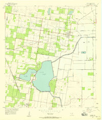
1957 · Lasara
USGS Topo · 1:24,000
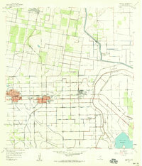
1957 · Edcouch
USGS Topo · 1:24,000