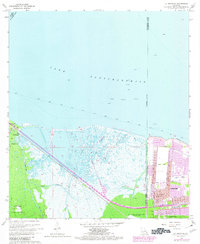
1967 Map of La Branche
USGS Topo · Published 1980About this map
Lake Pontchartrain dominates the northern horizon of this coastal landscape, where the waters of Bayou La Branche and Bayou Piquant snake through the wetlands of St. Charles Parish. The 1970s photorevisions capture the rapid expansion of Kenner, showing a dense grid of residential streets like Tulane St and Georgetown Dr pressing against the Kenner Corporate Boundary. This development sits in stark contrast to the heavy infrastructure nearby, including the sprawling New Orleans International Airport (Moisant Field) and the massive Bonnet Carre Floodway to the west.
Find a feature on this map
44 named features on this map. Tap any name to fly to it.
Don’t see what you’re looking for? This feature index may not catch every label — zoom into the map to look around manually.
Map Details
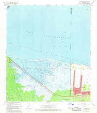
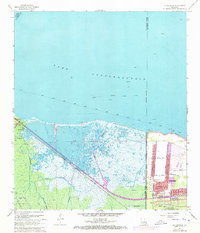
Editions of this 1967 La Branche Map
3 editions found
Other maps of this area

1891 · Hahnville
USGS Topo · 1:62,500

1891 · Spanish Fort
USGS Topo · 1:62,500

1891 · New Orleans
USGS Topo · 1:62,500

1892 · Bonnet Carre
USGS Topo · 1:62,500

1932 · New Orleans NW
USGS Topo · 1:31,680

1932 · Hahnville NW
USGS Topo · 1:31,680

1932 · Hahnville NE
USGS Topo · 1:31,680

1935 · Laplace
USGS Topo · 1:31,680

1935 · Luling
USGS Topo · 1:31,680

1936 · Hahnville
USGS Topo · 1:31,680