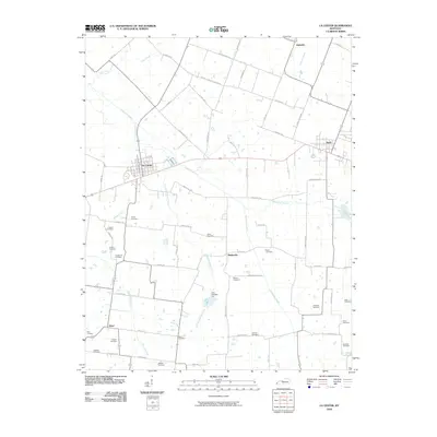
2010 Map of La Center
USGS Topo · Published 2010About this map
La Center serves as a focal point for this section of Ballard County, where the landscape is defined by the drainage networks of Humphrey Creek and Hinkle Creek. The rural character of the area is heavily marked by small-scale family and community burial sites, including the Terrell Cemetery, Newton Cemetery, and Hook Cemetery, which provide significant touchstones for genealogical research in the region. To the east, Kevil sits at the edge of the sheet, while smaller historic nodes like Hinkleville and Slater illustrate the persistent settlement patterns of western Kentucky. The terrain is largely agricultural, punctuated by numerous small water bodies and the Dam Number 3-A on a tributary of Little Humphrey Creek. The grid of local roads, such as Hinkleville Rd and Ceredo Rd, connects these scattered settlements across the undulating countryside.
Find a feature on this map
68 named features on this map. Tap any name to fly to it.
Don’t see what you’re looking for? This feature index may not catch every label — zoom into the map to look around manually.
Map Details
Editions of this 2010 La Center Map
This is the sole edition of this map. No revisions or reprints were ever made.
Other maps of this area

1928 · La Center
USGS Topo · 1:62,500

1931 · Cairo
USGS Topo · 1:62,500

1932 · La Center
USGS Topo · 1:62,500

1933 · Cairo
USGS Topo · 1:62,500

1939 · Wickliffe
USGS Topo · 1:62,500

1939 · Cairo
USGS Topo · 1:62,500

1949 · Paducah
USGS Topo · 1:250,000

1950 · Paducah
USGS Topo · 1:250,000

1951 · Blandville
USGS Topo · 1:24,000

1951 · Wickliffe
USGS Topo · 1:24,000