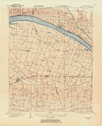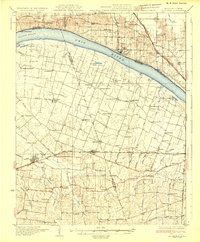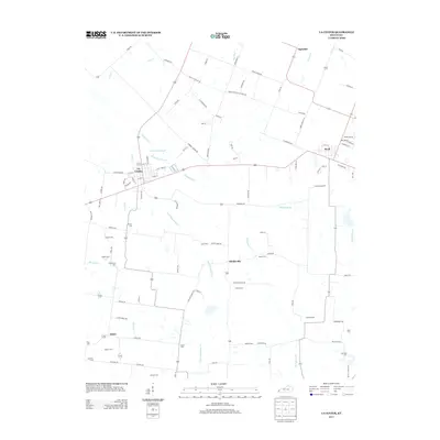
1975 Map of La Center
USGS Topo · Published 1977About this map
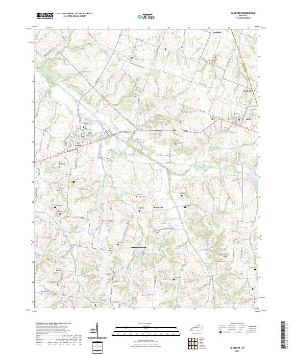
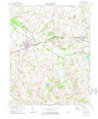
The Illinois Central Gulf railroad corridor serves as the industrial backbone of this Ballard County landscape during the mid-1970s, connecting the primary settlements of La Center and Kevil. The town of La Center is notably detailed, featuring the Fairground, a Sewage Disposal plant, and the Ballard Mem Sch. The surrounding rural territory is defined by the winding course of Humphrey Creek and its many tributaries, such as Little Humphrey Creek and Hines Creek. Small communities and crossroads like Hinkleville, Ingleside, and Slater anchor the countryside, often centered around local institutions like Mount Pleasant Ch or Antioch Ch. Numerous family burial grounds, including Terrell Cem, Henderson Cem, and Newton Cem, are scattered across the terrain, offering significant data for those tracing local lineages near the Ballard and McCracken County line.
Find a feature on this map
44 named features on this map. Tap any name to fly to it.
Don’t see what you’re looking for? This feature index may not catch every label — zoom into the map to look around manually.
Map Details
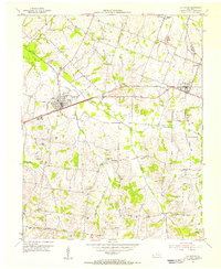
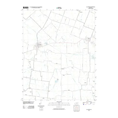
Editions of this 1975 La Center Map
This is the sole edition of this map. No revisions or reprints were ever made.
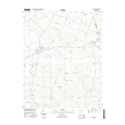
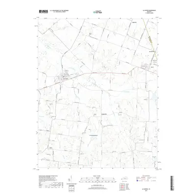
Historical Maps of La Center Through Time
9 maps found