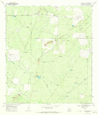
1969 Map of La Chusa Hill
USGS Topo · Published 1972About this map
Waterhole Hills dominate this portion of McMullen County, where the landscape is defined by the ephemeral flow of Devils Waterhole Creek and Cow Creek. During the late 1960s, this region was a working ranching landscape, characterized by numerous family-named landmarks such as La Chusa Ranch, Rhode Ranch, and the Encino Ranch. The proliferation of windmills across the terrain, including the Gueydan House Windmill and Bartlett Windmills, underscores the vital importance of groundwater for livestock in this semi-arid environment.
Find a feature on this map
36 named features on this map. Tap any name to fly to it.
Don’t see what you’re looking for? This feature index may not catch every label — zoom into the map to look around manually.
Map Details
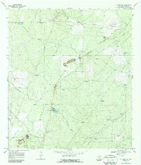
Editions of this 1969 La Chusa Hill Map
2 editions found
Other maps of this area

1920 · Mikeska
USGS Topo · 1:125,000

1929 · Simmons
USGS Topo · 1:62,500

1930 · Tilden
USGS Topo · 1:62,500

1937 · Loma Alta
USGS Topo · 1:62,500

1942 · Tilden
USGS Topo · 1:62,500

1953 · Crystal City
USGS Topo · 1:250,000

1955 · Crystal City
USGS Topo · 1:250,000

1961 · Crystal City
USGS Topo · 1:250,000

1968 · Crystal City
USGS Topo · 1:250,000
1969 · Live Oak Hollow
USGS Topo · 1:24,000